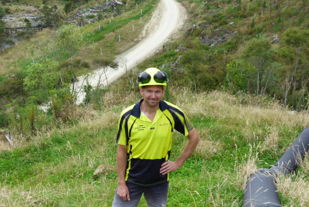
Erosion planting after Cyclone Bola in the late 80s was well intentioned, but often resulted in the wrong tree in the wrong place. Gisborne-based forestry company Aratu Forests is taking the initiative to ensure the next generation of forests don’t bring the risks and damage the sector is grappling with today from the last generation. Aratu harvest planning manager Andy Costello spoke to Richard Rennie.
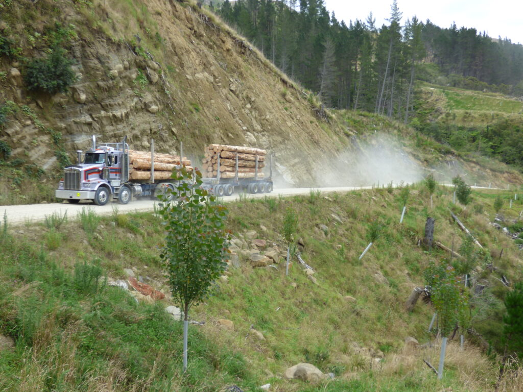
For Aratu Forests one method of reducing the impact their forests are having within their boundaries, and beyond on the neighbours, lies in the roads the company is building to access the tough Gisborne hill country.
Andy Costello describes the devastating 2018 flood event at Tolaga Bay as a turning point for his company.
“In 2018, post storm investigations undertaken by Aratu identified that the collapse of old roads and landings had contributed to mobilisation in the catchment. While this was only one of many contributing factors, we recognised it was one that we had control over, so we immediately set to work both remediating old construction and improving standards for the infrastructure we’re building now.”
The company is constructing 30km of roads a year through its 35,000ha of blocks and the new networks come with some tight parameters before the first bulldozer cut is even made.
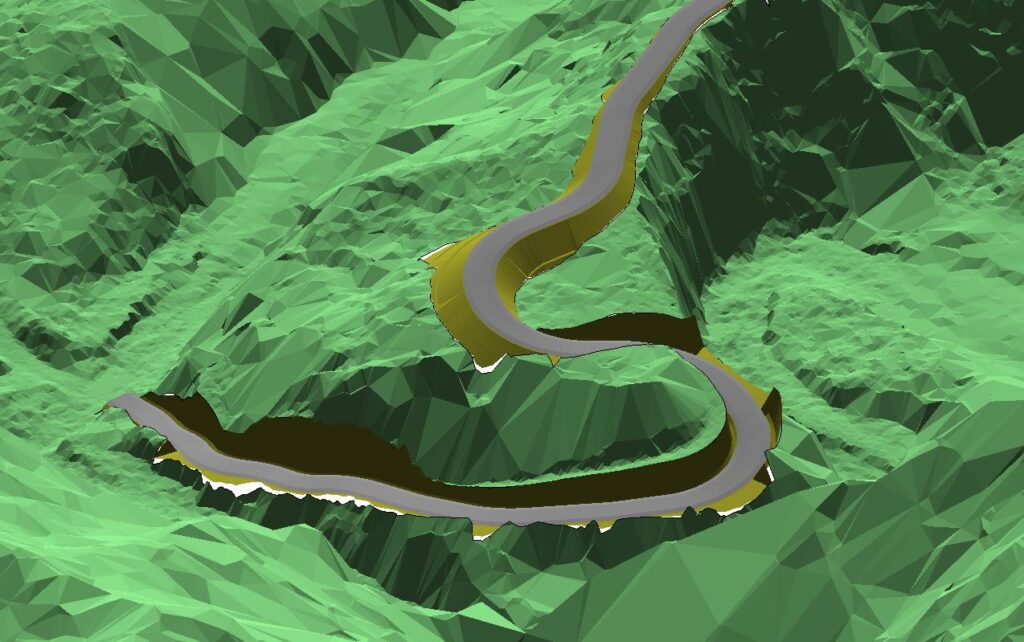
“The level of design work behind them has increased significantly since 2018. We are now using LiDAR (light detection and ranging) mapping and design programs. This gives us a far more granular, detailed understanding of the contour and catchment we are dealing with, and how to minimise the road’s impact, and ensure its far more stable,” he says.

From the cab of his ute he can pull up a detailed laptop LiDAR image of the road a logging truck is powering up, pinpointing the intense design within that single section.
It shows how native vegetation has been highlighted by its LiDAR signature and left untouched, the road’s slope has been maximised to 14degrees where possible to minimise earthworks, and corners retain earth bunds to lower runoff risk.
“We have also learnt you need to compact the roads a lot more than we used to. Since 2018 we’ve bought in additional machinery specially designed for compacting our heavy clay soils.”
Meantime stability above and below the roads is improved with coconut matting, grasses, and poplars to absorb runoff, particularly around the blocks’ many streams.
“The changes we’ve made have made our roads and landings much more resilient. Following Hale our recently constructed roads have not had the failures seen in other roads around the district.”
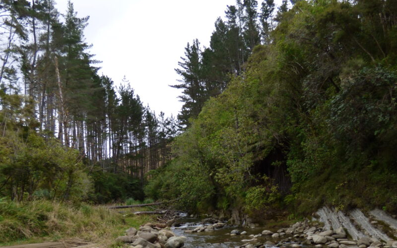
The forest blocks are largely legacy post-Bola plantations that often have pines planted right to the water line, with a likelihood they may fall over even before harvesting or make losses into the waterways inevitable at harvesting.
“We have significant tracts of these trees we have now opted not to harvest in order to reduce the risk to our neighbours. Despite the costs of having managed and pruned the trees over the past 30 years, they are simply too risky, and the potential damage too great.”

Costello says Gisborne brings a lot of challenges together in one geographic space. He estimates the company has invested an additional $15-$20 million in recent years building more integrity into its infrastructure.
“While we’re not suggesting that any spend makes downstream damage OK we want give our neighbours confidence that we’ve made a real commitment and have changed our practices to reduce the risk.”
Like most in the sector he was shocked at the impact of the latest flood event.
“We need to go through a process to better understand how and where this material has come from. We support the Eastland Wood Council who agree there needs to be an inquiry that takes a broad, long-term science based view of the issues, and how best to deal with them.”
He said foresters, like farmers have no desire to see their growing assets lost to weather events, alongside expensive infrastructure like roading, nor to have them inflicted upon fellow community members downstream.

Minimising slash loss from skid sites where logs are loaded has also been a harvest priority for Aratu.
“Following 2018 slash was pulled back from the edge of several hundred skids and now slash is being pulled back from the edge of each skid shortly after harvesting. Following Hale we’re not seeing debris mobilising off our skids as we’d had in previous storms.”
But slash is a fraught issue for industry, given it has zero value at this point, prompting some to propose a government led initiative to build a bio-energy plant in Gisborne to accept the problematic waste.
The next rotation of forests should also have lower losses to waterways, thanks to changes in where, what, and how trees are planted within catchments.
Costello said all recently harvested forests have a window of vulnerability for five to eight years post-harvest, and the predominance of post-Bola forest harvesting has highlighted the risks.
He indicates how “live slash catchers” in the form of poplar trees along riparian sections are planted densely enough to catch any descending wood during an event, while swathes of planted clover help build topsoil and absorb slope runoff.
“The industry is not sticking its head in the sand on this.
“The region has had reviews resulting in major land use changes before, like post-Bola. This is an opportunity to look hard at better ways of doing things once again.”


